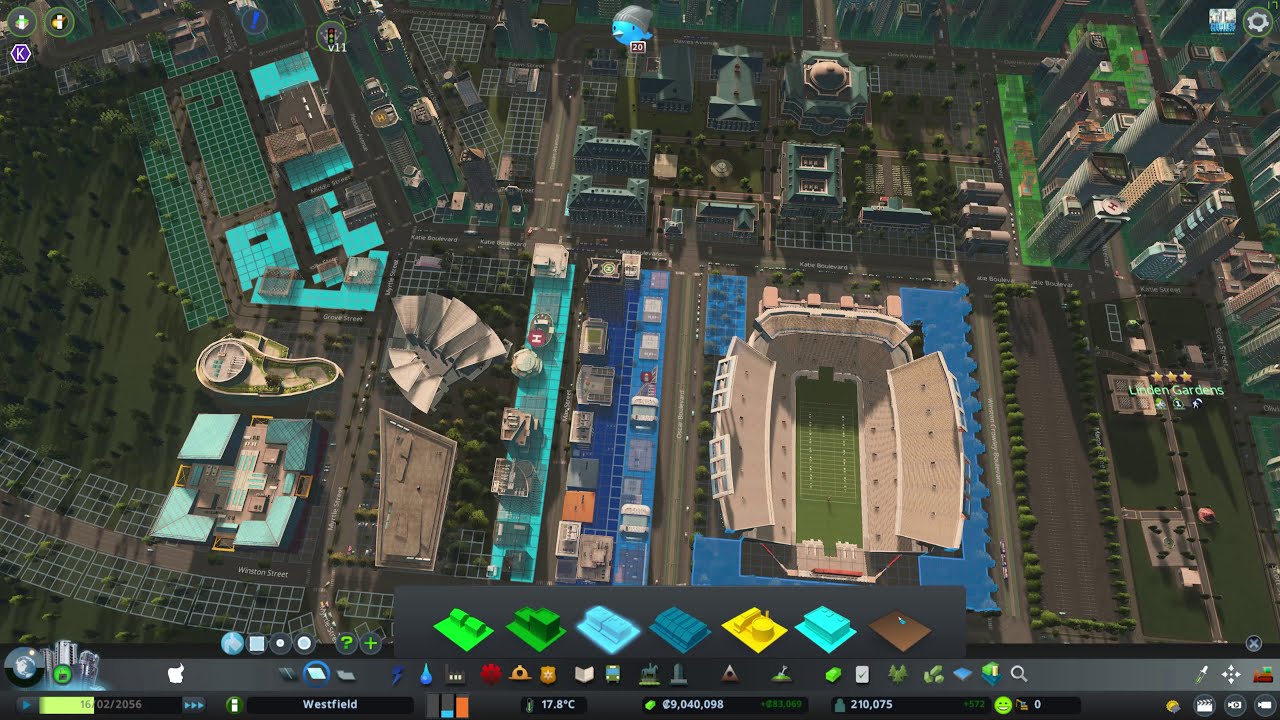
Following a viewer's tip to give pedestrians more options, Westfield tries Node Controller and Intersection Marking Tool for proper crosswalks, finds that crowds walk all the way to the mall, removes the last general industrial zone near homes, uses speed limits to steer drivers, adds a riverside parking lot, runs utilities under the river to a new office area, and opens its first ferry line.
What happens in this episode
The districts are merging, and there were still odd spots: drivers turning back and forth, buses and post trucks blocking roads. A viewer gave me a good tip: add more pedestrian walkways and overpasses so people don’t need their cars to cross busy areas.
How it was built
Crosswalks with new mods
Two new mods: Node Controller and Intersection Marking Tool. Pedestrians get crossings where they need them, with zebra crosswalks whose width and offset can be adjusted and copied to other junctions. It took some trying to understand.
Walking to the mall
Following pedestrians showed crowds walking across town, many to the packed mall and the university. How much people walk depends on the country and culture, but in Cities: Skylines they walk literally miles at a certain stage. Pedestrian bridges at every major spot would mean restructuring a lot, so not yet. The good news: residential, commercial and office demand are all medium and balanced.
The last industrial zone
After saving the game as a backup, the last general industrial zone near homes was removed. It had bothered me for a long time. The fire station stays, an incinerator moves, and a water pumping station is kept. A roundabout gets lane rules and a new node from Node Controller, with crosswalks removed where they don’t make sense. The water treatment was upgraded from 100% to 20% pollution, and pollution started fading.
Steering with speed limits
Drivers kept detouring through town. Speed limits of 90 on the intended road and 40–60 through town make the right route more attractive.
Parking and ferries
A 22 m parking lot with a service road went in by the river. Parking spaces need Anarchy to sit on the road. Ferry ports went in on both sides. To open up land across the water, I ran hot and cold water under the river, which I don’t usually like to do. Trees were moved out of the way with Move It rather than cut, even if that costs the mayor some money. A new office area went there. A ramp was redone and new nodes placed, and the first ferry started running back and forth.
This was recorded on the last day of 2020, a weird year thanks to COVID, with more city-building videos planned for 2021.
Video chapters
- 00:00A viewer's tip: more pedestrian options
- 03:44Node Controller and crosswalk markings
- 10:59Everyone walks to the mall
- 14:19Footbridges everywhere? Not yet
- 18:06Removing the last industrial zone
- 25:13A new node and roundabout rules
- 28:53Better water treatment, less pollution
- 32:28Speed limits to steer drivers
- 35:54A parking lot and ferry ports
- 40:01Utilities under the river
- 48:01The first ferry
Clicking a chapter starts the video above at that point.
FAQ
How do you add crosswalks in Cities: Skylines?
With Node Controller you can add or remove nodes and crosswalks, and Intersection Marking Tool lets you draw zebra crossings and set their width and offset.
Why do citizens walk so far?
At a certain size citizens in Cities: Skylines walk very long distances instead of driving or taking transit — in Westfield, crowds walked across town to the mall. More transit options are the answer.
Can speed limits change routes?
Yes. Raising the speed limit on the road you want drivers to use and lowering it on the route through town makes the intended route more attractive.