
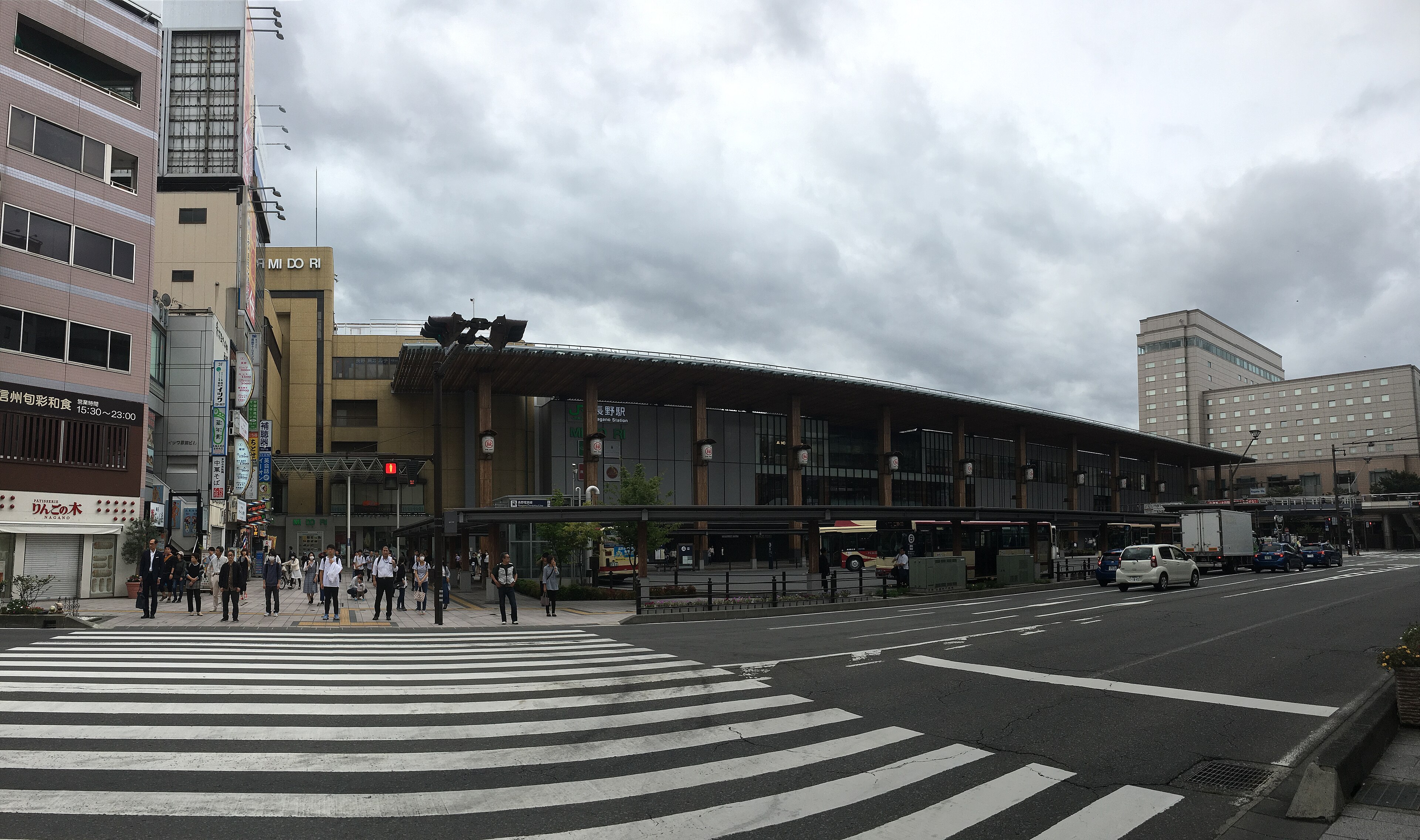
Nagano Station
The timber Zenkoji-exit canopy and bus loop are the model for Shinano Central's station square.
Photo: Nesnad · CC BY 4.0
地図 · The Atlas
Every new line starts from a real place. Here they are, each linked to the series it shaped.
SHOWING: Nagano Station
Google Maps · 地図
The map loads from Google only after you agree. Google then receives your IP address. See Datenschutz.
The timber Zenkoji-exit canopy and bus loop are the model for Shinano Central's station square.
Photo: Nesnad · CC BY 4.0
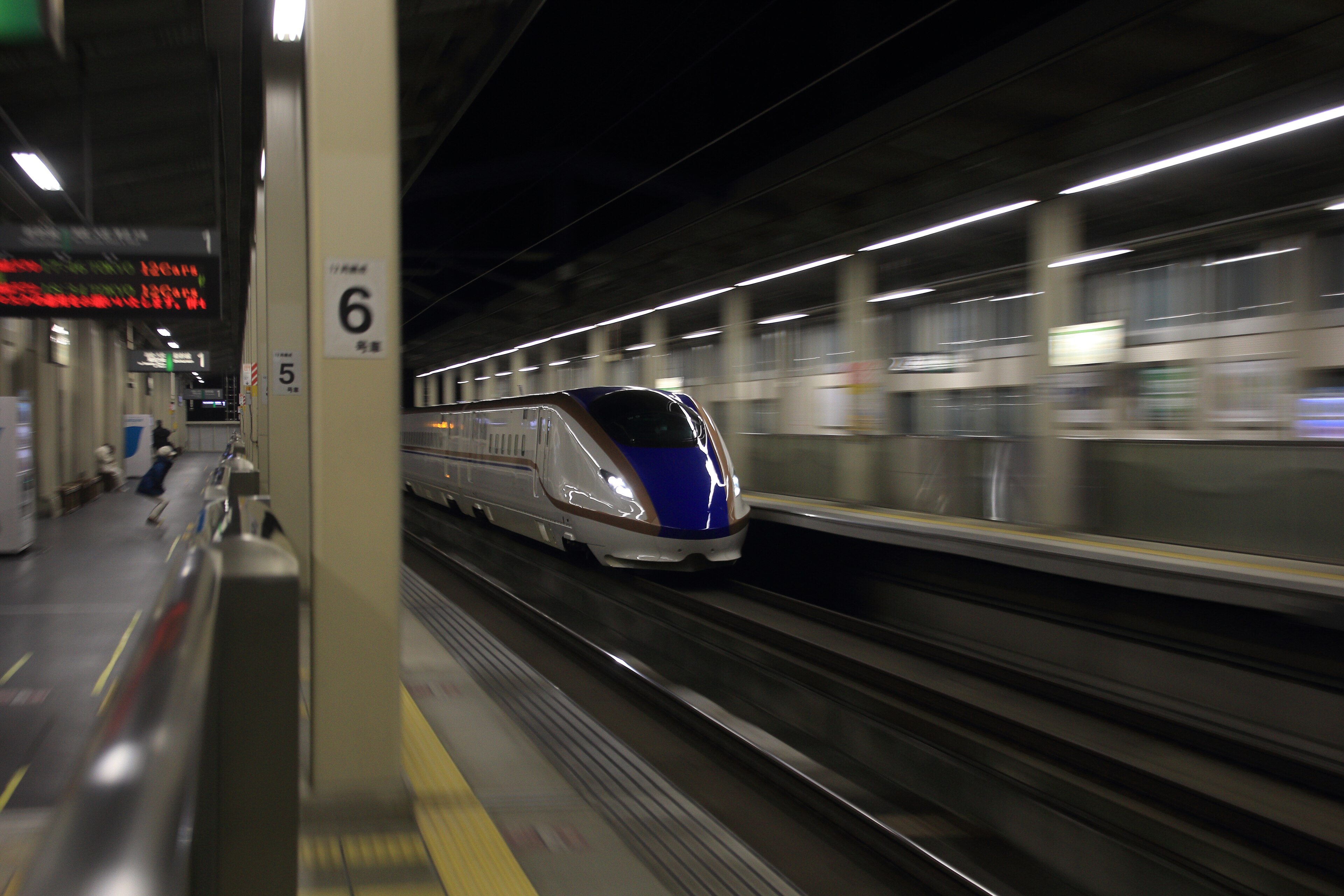
Shinkansen and local Shinano Railway lines side by side — the pattern for Shinano's two-level station.
Photo: 雑用部 · CC BY-SA 4.0
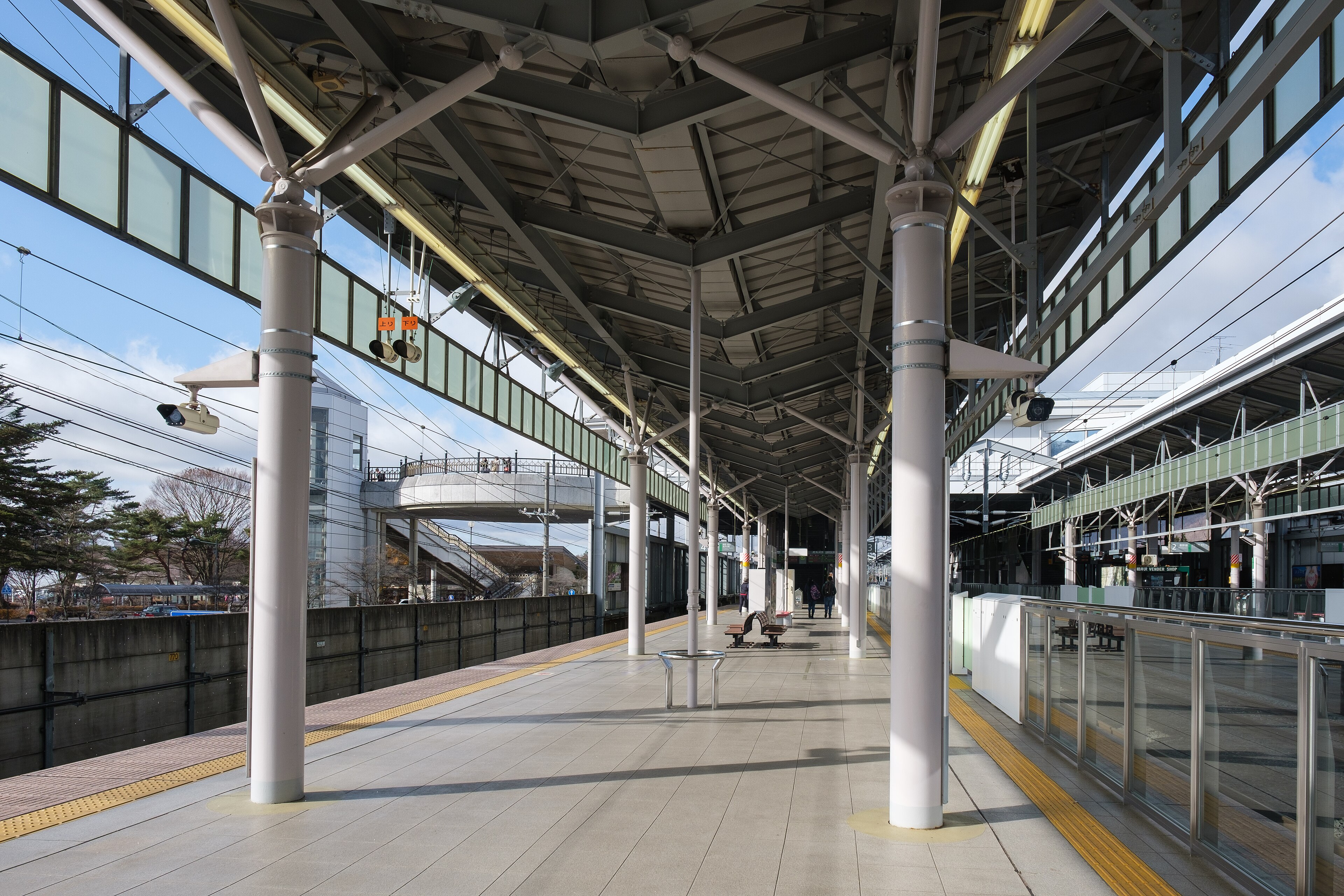
Resort town at the top of the climb from Gunma — reference for Shinano's resort edge.
Photo: Mochimoshi · CC BY-SA 4.0
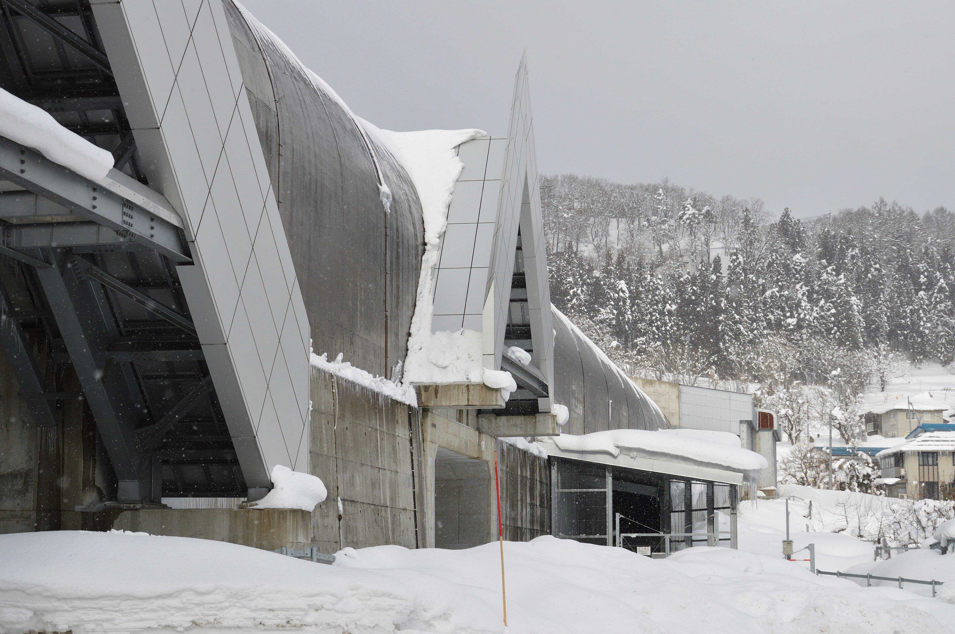
Snow-country portal on the Hokuriku Shinkansen — reference for winter rail scenes.
Photo: IRishikawa521 · CC BY-SA 4.0
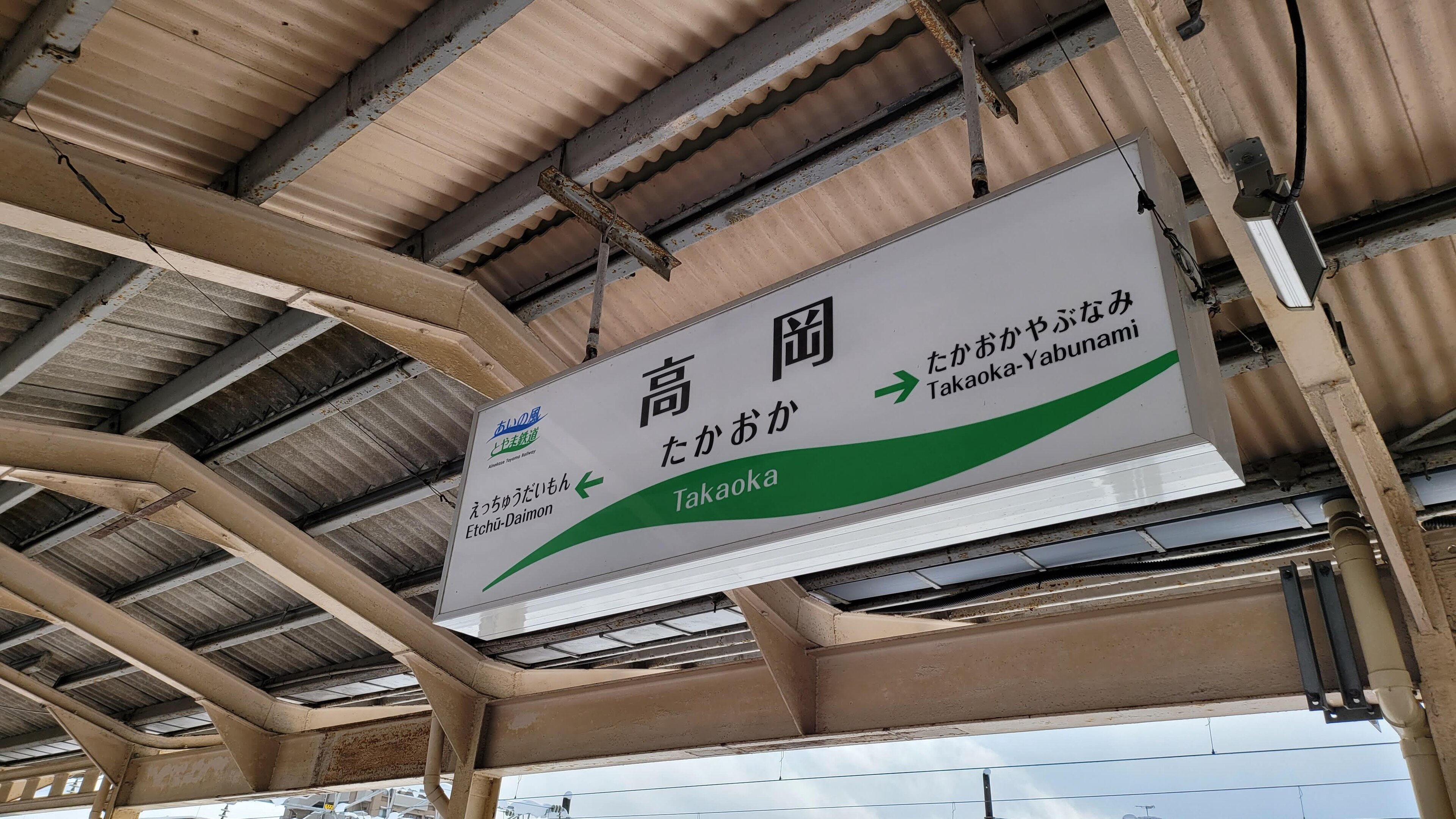
The Hokuriku city that gave the 2025 island series its name.
Photo: Aspere · CC0
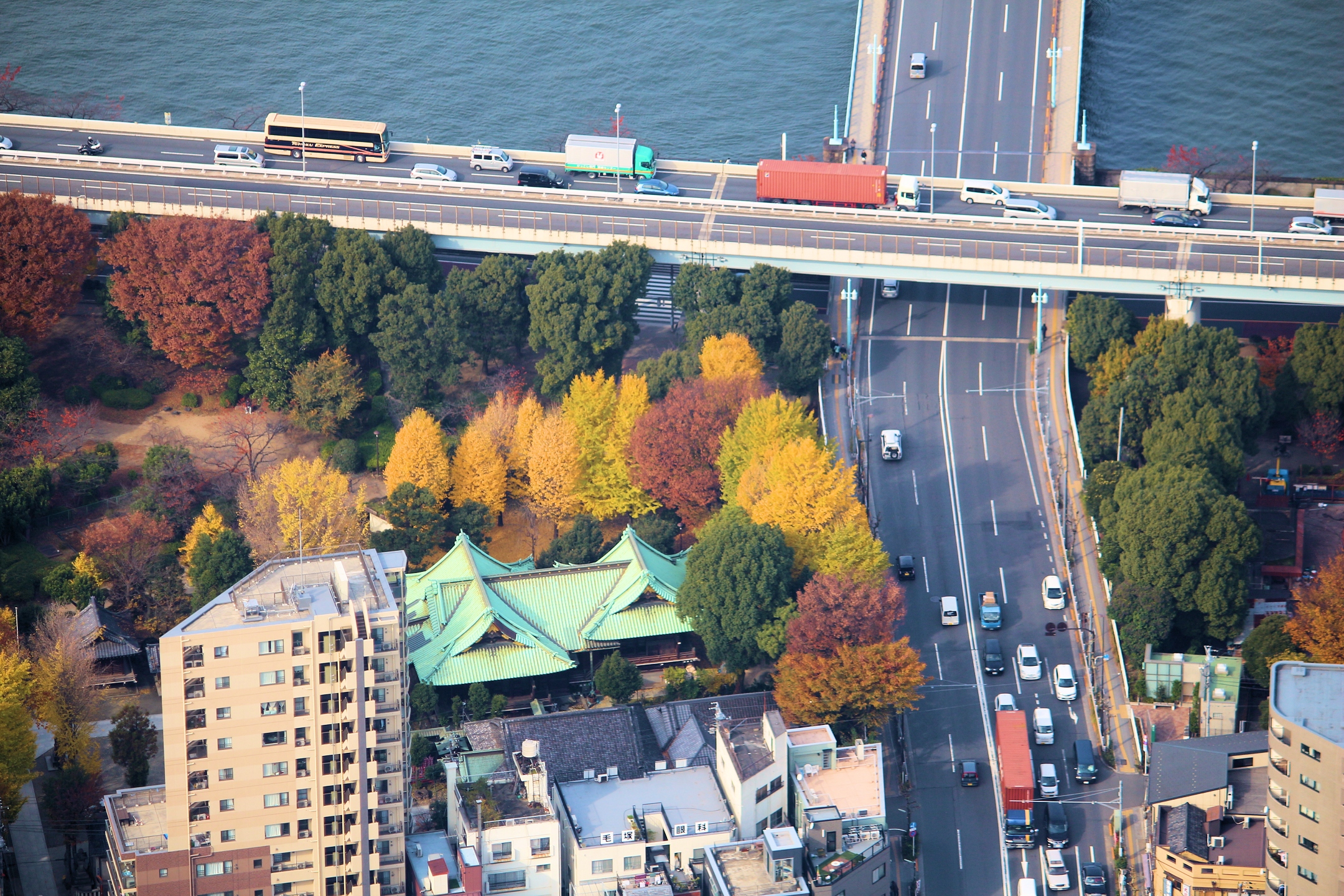
Elevated expressway above a river and shrine — the look behind Horizon Springs EP 6.
Photo: Marek Ślusarczyk (Tupungato) · CC BY 3.0
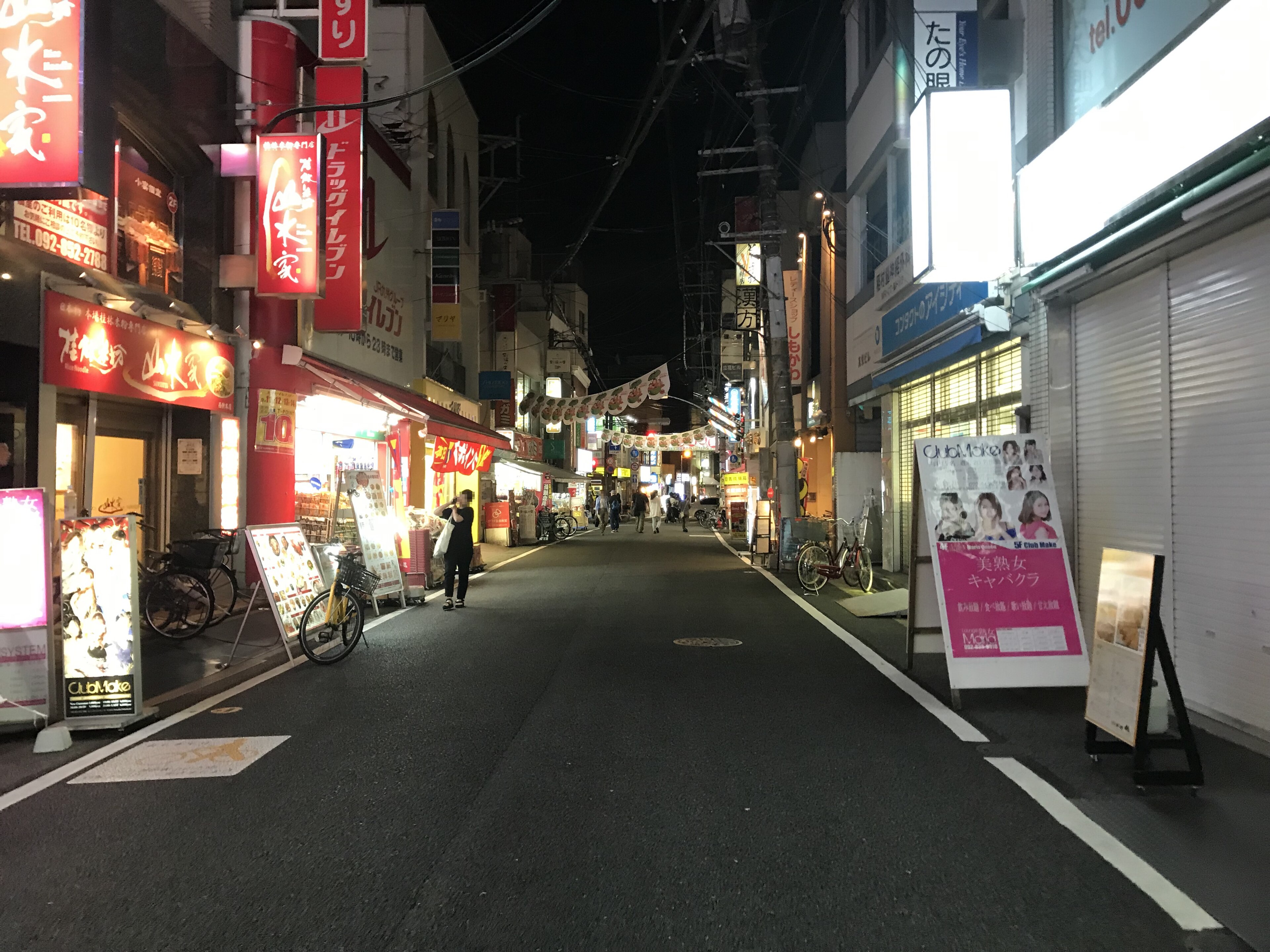
A classic shotengai: narrow, shop-lined, busy into the night — reference for Japanese mixed-use streets.
Photo: そらみみ · CC BY-SA 4.0
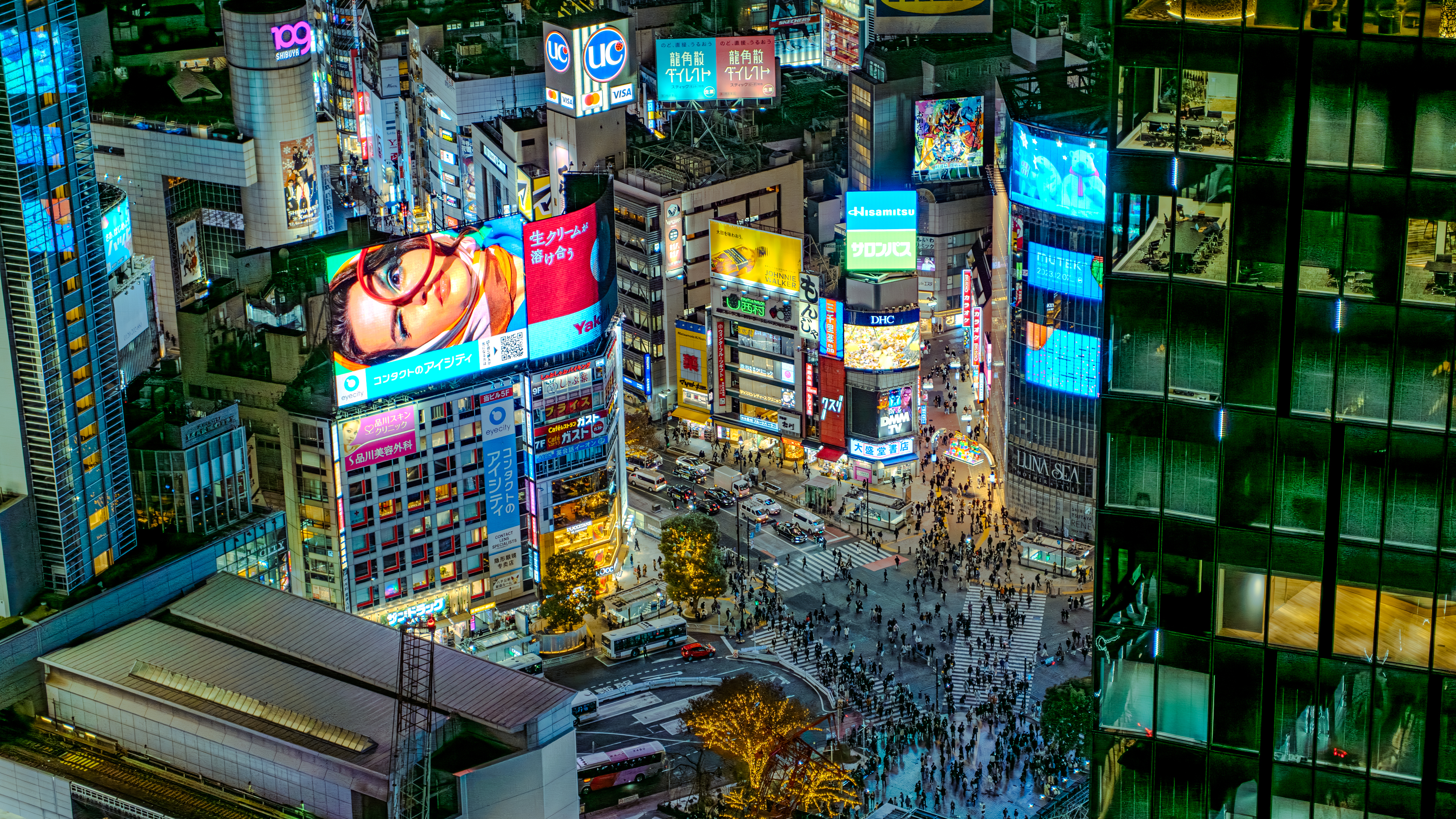
Station-centred density at its most extreme — what transit-oriented development looks like at full scale.
Photo: David Kernan · CC BY 4.0