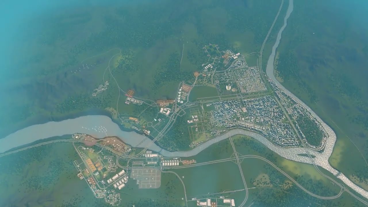
A special episode: I stitched in-game screenshots of the whole Riverrun map together in Photoshop and drew the plan for Springvalley's empty tiles in a drawing app — existing and future highways with marked interchanges, arterial roads that follow the highways and rivers, then districts: forestry, two farming squares, the downtown core, suburbs with a looser grid, a high-income riverside area and two nature reserves.
What happens in this episode
This is a special planning episode. I took in-game screenshots of the whole area, stitched them together in Photoshop (there may be a few glitches), and drew the plan for the tiles Springvalley still has to fill in my favourite drawing app.
How it was built
Highways first
On their own layer (I forgot layers at first, so I started over), the existing highways are traced and every interchange is marked with a circle so the plan is still clear later. I’m not sure yet whether the highway through the middle of the city is a good idea. New highways extend north through the countryside and into the southwest, plus a planned connection from the south to the east.
Arterial roads
Yellow lines continue the arterial roads: along the river, alongside the highway, down to the basin where both rivers meet, and north. The existing grid is the baseline. Looking at Google Maps, North American cities stick to the grid even in the suburbs. I grew up in Europe, where cities aren’t famous for grids. They’re more interesting to explore but harder to navigate, so both approaches have advantages. The plan also shows the current flaws: some misplanned arterials cost traffic flow. Arterials follow the highways so people have plenty of options, and not every grid square will be filled.
Districts
- Forestry in the dense forest, packed into three or four squares, with a possible second area in the southwest.
- Farming on two squares, with the processing industry in the hills.
- The downtown core in the centre.
- Suburbs with a looser grid, low density and less focus on traffic.
- A high-income riverside area close to downtown, offices and the financial centre.
- Outer neighbourhoods with cul-de-sacs.
- Two nature reserves: a recreational area and a mountainside with hiking trails and tents.
The train lines aren’t in the plan yet, and the southwest corner is open, probably for industry. This should cover the next five to eight episodes, and someday downtown should feel properly high-rise, like New York or Tokyo.
Video chapters
- 00:00Screenshots stitched into one map
- 03:33Highways and marked interchanges
- 06:54Arterial roads that extend the grid
- 10:16Grids in North America vs. Europe
- 13:50Industry and farming districts
- 17:12Suburbs, riverside homes and nature reserves
- 21:00The full plan
Clicking a chapter starts the video above at that point.
FAQ
How do you plan a large city in Cities: Skylines?
Take screenshots of the whole map, stitch them together, and draw on separate layers: highways and interchanges first, then arterial roads, then districts.
Why plan arterial roads along highways?
Arterials that follow the flow of the highways give people many options to move through town and connect cleanly to future interchanges.
Grid or no grid?
North American cities stick to grids even in the suburbs, which makes traffic planning easier. European cities without grids are more interesting to explore. Both have advantages.