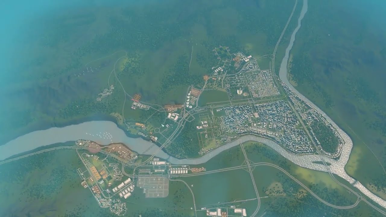
The highway junction from episode 5 still jammed with trucks heading for the farms and forestry. Springvalley rebuilds the ramps as two-lane one-ways so every turn gets its own lane, tries lights, lane rules and give-way signs, upgrades all gravel roads to quiet tree-lined roads without parking, plans a riverside district with free planning roads and a central university site, and starts removing the last industry.
What happens in this episode
Springvalley is most likely my last Cities: Skylines 1 city before the sequel. Last time brought the highway section, parks on both sides with pedestrian overpasses connecting east and west, and some road upgrades. The biggest problem is still the junction where traffic enters town: trucks heading to the farms and the forestry area block the flow, and it will get worse as forestry grows.
How it was built
Dedicated turning lanes
Several streets are removed and every on- and off-ramp is replaced with a two-lane one-way, so every turn has its own lane. Traffic lights went in and out, parking was banned on ramps, despawning was checked, and lane rules came next. I watched where drivers went. Some made U-turns that made no sense. Coming back to the game after so long, it was a lot of trial and error. The standard intersections are sometimes just not helpful, with cars lined up like ducklings.
Tree-lined roads
Two new tiles were bought, and all roads in the residential and commercial area were upgraded to two-lane roads with trees. Residents were happy straight away: gravel roads are noisy, and the new roads also remove roadside parking. The main collector was upgraded with Move It to avoid rebuilding everything.
A riverside plan
With free four-lane planning roads, the main collector follows the river on a 12×24 grid where possible. I made a mistake by upgrading planning roads into real roads too early, so I paid for roads nobody used yet. A central square becomes the future university site, with a smaller one maybe by the river. The riverside is for homes, because I’d rather have the river view than look at a shopping centre. The main road will become a big commercial strip later. Space for a hospital was reserved.
Give-way signs and the last industry
Upgrading two short segments to four lanes, removing lights and adding give-way signs cleared most of the jam. Industrial demand was very low, so the last industry started to go, along with recycling centres to empty the landfill. One crossing is still a huge issue, and I asked viewers for ideas.
Video chapters
- 00:00Recap: highway and park overpasses
- 03:34Two-lane one-way ramps
- 08:12Trial and error at the junction
- 12:19New tiles and tree-lined roads
- 16:07Planning the riverside with free roads
- 23:10A central university site
- 27:12Riverside homes, commercial on the main road
- 31:48Four-lane fix and give-way signs
- 36:42Removing the last industry
Clicking a chapter starts the video above at that point.
FAQ
Why do homes like roads with trees?
Gravel roads are noisy. Upgrading to two-lane roads with trees makes residents and businesses happier immediately — and those roads also remove roadside parking.
Should riverside land be homes or shops?
I keep the riverside for homes — I'd rather live with the river view than behind a big shopping centre — and put the commercial area along the main road.
Why give every turn its own lane?
Two-lane one-way ramps give drivers a dedicated turning lane, so turning traffic doesn't block traffic going straight.