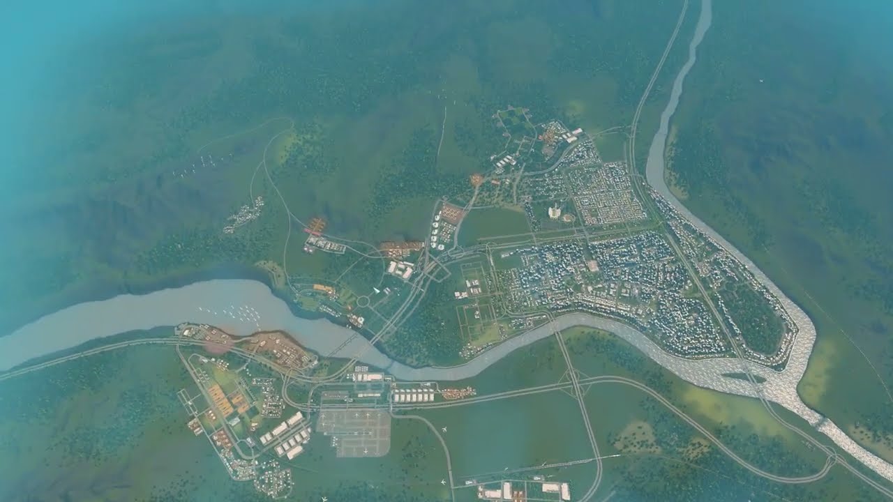
After two weird traffic episodes, I accept that Springvalley's junctions sit too close together and that commuters to the office districts are the real load. The intercity bus terminal gets the highway ramp it never had, four biofuel bus depots are spread around the city, and every bus line is deleted and redrawn around a zoning map. Offices are mixed into residential areas so people live closer to work. Key arterials become six lanes, and pedestrian links and an encourage-biking policy push traffic flow to 84%.
What happens in this episode
Episode 39 removed the monorail, which I’m fairly sure was slowing traffic, and upgraded many arterials from four to six lanes with some new connections. Cars still pile up. I think there are two causes: junctions too close together, and lots of people commuting to the office districts. This episode focuses on the bus network.
How it was built
A ramp for the intercity terminal
The intercity bus terminal never had an on and off ramp. I was sure it did. So it gets one, with dedicated lanes set with TM:PE’s lane connector and nodes spaced out. Trees keep the noise away from homes.
Four depots
Four biofuel bus depots are spread across the city. One sits in the neglected old town, where a little noise doesn’t matter.
Every line deleted
Then I delete all bus lines. Sometimes you have to rebuild the entire thing. With the info views off, I look at where offices, commercial and housing really are. The big business district had no bus stop nearby. New lines:
- start with a few lines and add more as needed;
- run circle lines through Manor Hills, a key work destination, and Madison Park;
- link up with the main station.
My old naming and colour conventions weren’t that helpful. I don’t want trams.
Offices closer to homes
Most traffic is commuting. So I de-zone and rezone, adding offices across town and denser commercial, so citizens live closer to work. The city regains population quickly. There are now eight lines, and some junction lane settings were fixed.
Six lanes
Four-lane roads replace pretty two-lane tree roads where needed, and residents don’t like them nearby. One arterial goes straight to six lanes. I’ve mostly seen six-lane roads through downtown in Japan and North America. Some offices become commercial, priority signs replace lights, and a bridge becomes a standard road.
Pedestrians and bikes
A pedestrian link crosses the office zone, and a crossing is closed in favour of it. The number of people arriving at work by subway every day is huge. A citywide encourage biking policy follows, and I reconnect a station I forgot to reconnect.
Traffic flow is at 84%. It’s not exciting, but at some point it’s necessary. Cities: Skylines II arrives on 24 October 2023, and I’ll keep building Springvalley until then.
Video chapters
- 00:00Six lanes and a commuter problem
- 04:30A ramp for the intercity terminal
- 09:15Four depots, all bus lines deleted
- 14:47Drawing lines from the zoning map
- 19:31Not enough transit for 75,000
- 23:36Offices closer to homes
- 28:09Eight lines and four-lane roads
- 33:13A six-lane arterial
- 37:49Pedestrian links in the office zone
- 42:32Encourage biking, 84 percent
- 46:53Not exciting, but necessary
Clicking a chapter starts the video above at that point.
FAQ
When should you delete and redraw all bus lines?
When lines grew piece by piece and no longer match where people live and work. Look at the zoning map, find the gaps (here a big business district without stops) and redraw from there.
How do offices reduce traffic?
Spreading offices into and next to residential areas shortens commutes, so fewer people drive across town to one big office district.
Why are close junctions a problem?
Vehicles need distance to change lanes. If junctions are packed tightly, every lane change blocks traffic.